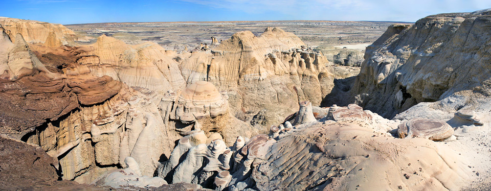
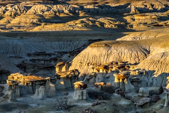
The Ah-Shi-Sle-Pah Wilderness is located in northwestern New Mexico and is a badland area of rolling water-carved clay hills. The area is rich in fossils and has little vegetation to conceal geological formations. The thin vegetation includes sagebrush, piñon-juniper, Great Basin scrubland, and grassland. It is a landscape of sandstone cap rocks and scenic olive-colored hills. Water in this area is scarce and there are no trails; however, the area is scenic and contains soft colors rarely seen elsewhere.
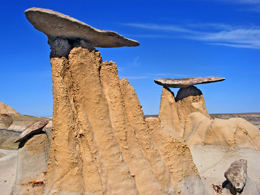
Like the Bisti and De-Na-Zin wildernesses a short distance northwest, Ah-Shi-Sle-Pah Wilderness Study Area is a little known region of fantastic eroded rocks in the high desert of northwest New Mexico, a generally flat, sandy and uninhabited land drained by shallow washes that eventually meet the San Juan River. Some of the land is part of the Navajo Indian Reservation, and other areas are used for oil and gas drilling, but most is empty, yet access is quite easy since a network of dirt roads criss-cross the desert, many in good condition except after recent rainfall when some become impassable.

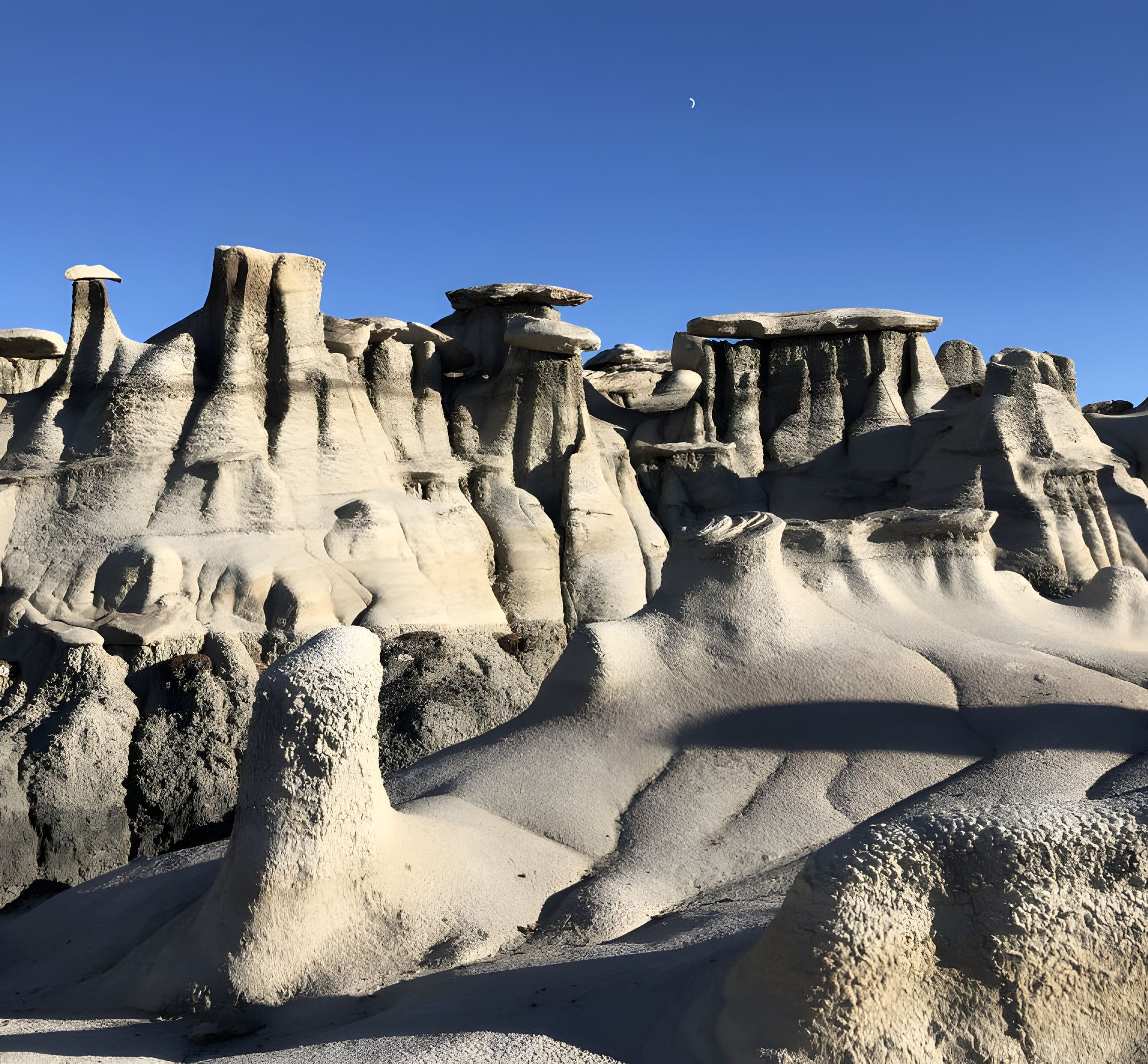
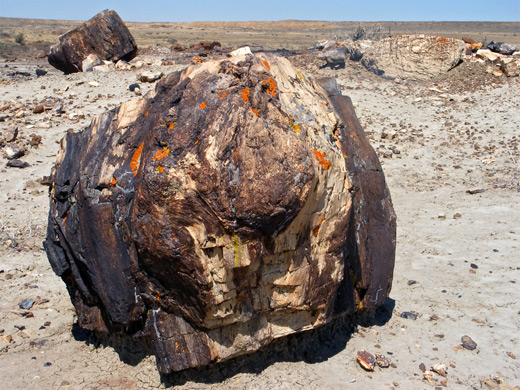
The WSA is centered on Ah-Shi-Sle-Pah Wash, a minor drainage running through a wide, barren valley but lined to the north and south by a strip of eroded cliffs, ravines and badlands containing innumerable hoodoos, balanced rocks and other strange formations, plus much petrified wood including stumps still in an upright position, complete with roots.
The name Ah Shi Sle Pah is dervived from the sound of a Navajo phrase describing this region, meaning ‘the salt is grey’; the place is also sometimes referred to as ‘Ash Paw Canyon’.

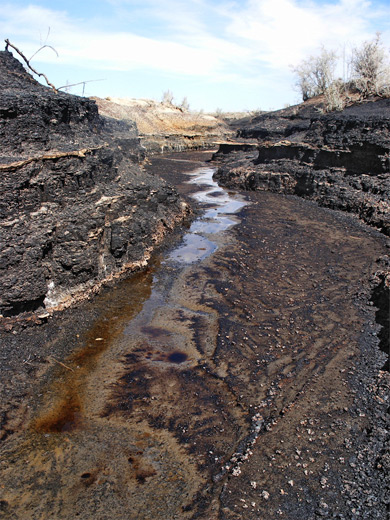
The rocks (a mixture of sandstones, mudstones and shales, from the Fruitland Formation) have a great variety of colors, especially distinctive being the brown-ochre of the badlands and yellow-orange of some of the hoodoos; other dominant shades are grey-white of the mud hills lining the valley floor, and deep black both of the badlands higher up, and scattered coal beds closer to the wash.
Although the formations extend for 6 miles, the best and most easily reached section of the WSA next to the official trailhead is just 1.5 miles across so the majority can be seen in half a day; other interesting areas on the north side of the valley and downstream to the west would need a day or more to explore fully. Besides the petrified wood, the Ah-Shi-Sle-Pah region is a fruitful source of animal fossils, and many dinosaur bones have been collected here over the last hundred years; some may still be seen in situ.

